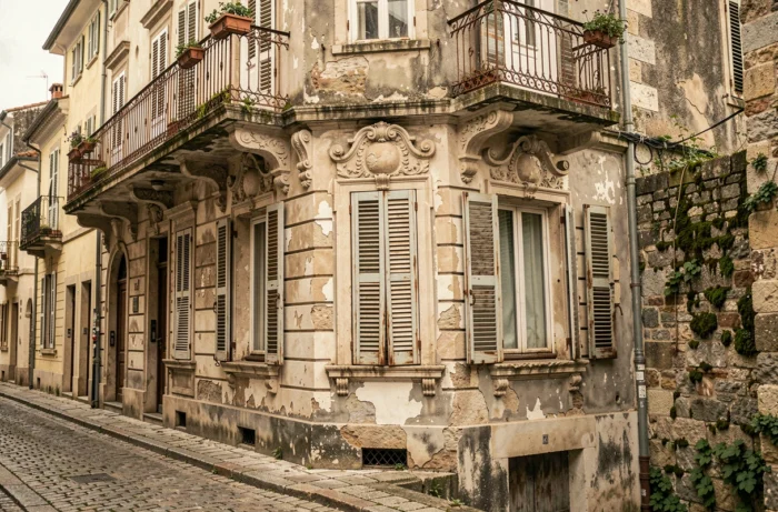
The facades tell what the texts forget. Each lintel, each shutter, each street alignment preserves the trace of architectural choices, economic constraints, and lifestyles that have shaped our neighborhoods. Old photos of houses provide concrete documentary material for anyone wanting to understand the evolution of a territory, far beyond mere nostalgia.
What a facade photographed a century ago reveals
A photograph of a house taken in the early 20th century is not just a pretty sepia snapshot. It documents specific technical elements: local building materials (cut stone, cob, brick), floor heights, proportions of openings, presence or absence of commercial spaces on the ground floor.
These details allow for an approximate dating of a construction without resorting to cadastral archives. A limestone window frame, a band of glazed bricks, or a zinc awning situates a house in a particular period and economic context.
By cross-referencing these images with more recent aerial views, one can also measure the footprint of a building, spot disappeared annexes, or identify roof modifications. Exploring the old photos of your city allows for reconstructing this visual chronology, street by street, parcel by parcel.
Online photographic archives: public collections and reuse conditions
Several institutions provide digitized photographic collections, but access and reuse conditions vary significantly from one organization to another.
IGN and the Remonter le temps platform
The IGN archives are not limited to classic aerial views. They include oblique shots, infrared photographs, and old maps. New data is added regularly. This diversity allows for documenting the evolution of a house, its materials, its roof, and its immediate environment.
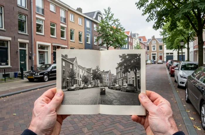
The Remonter le temps platform offers a comparison tool between two eras at the same location. It overlays a current view and an old snapshot to visualize the transformations of a neighborhood.
Regional and municipal collections
The Heritage Photothèque of the Île-de-France Region offers a cartographic and thematic search. Its images are downloadable in standard definition for non-commercial use, provided the author and the Region are credited.
At the municipal level, some cities digitize collections from local photographers. The Toulouse Archives, for example, preserve collections that document ordinary architecture, daily urban planning, and social transformations of the urban fabric. This type of collection captures what official photographers often overlooked: inner courtyards, back shops, suburban houses.
Old postcards and collaborative collections
Postcards represent another documentary resource. The golden age of postcards is between the 1890s and 1914. This period produced a massive quantity of views of streets, squares, and buildings, often in rural municipalities that were otherwise poorly documented.
Platforms like Geneanet aggregate these collections and make them searchable by location. The images sometimes extend into the 1950s, transitioning from black and white to color.
Usage rights for old house photos
The legal question is rarely addressed by enthusiasts who share old snapshots on social media or in local publications. The available data does not allow for a single rule, as the status of an image depends on several simultaneous factors.
Here are the points of caution to check before any reuse:
- The photographer’s copyright: in France, a photograph enters the public domain 70 years after the author’s death. If the author is unknown, the publication date serves as a reference, but field returns vary on the exact interpretation depending on the collections.
- The right to the image of buildings: since the law for a digital Republic, the freedom of panorama allows for the reproduction of buildings located on public roads, provided it is for non-commercial use. For commercial publication, permission may be required.
- The specific conditions of archival collections: each institution sets its own dissemination rules. An image free of copyright may still be subject to usage restrictions imposed by the organization that holds it.
The legal framework is evolving. Some old photographs, long considered freely reusable, are now subject to new claims when rights holders are identified late.
Method for identifying and dating an old house through photography
Comparing an old photo to the current state of a building requires a methodical approach. Simple visual comparison is not always sufficient, especially when the street has been renumbered or neighboring buildings have disappeared.
Cross-referencing the photograph with the Napoleonic cadastre or alignment plans allows for confirming the exact location of a house. These documents, often digitized by departmental archives, indicate parcels, owner names, and sometimes the nature of constructions.
The architectural elements visible in the photo provide dating clues:
- Cast iron railings generally indicate the second half of the 19th century.
- Arched brick lintels are typical of working-class constructions from 1880 to 1920.
- Portland cement coatings, recognizable by their uniform gray hue, appeared massively after the 1920s.
The vegetation visible in the images (alignment trees, enclosed gardens) and urban furniture (street lamps, bollards) complete the analysis. A mature tree visible in a photo from 1910 and absent from a snapshot from 1950 indicates a road redevelopment between these two dates.
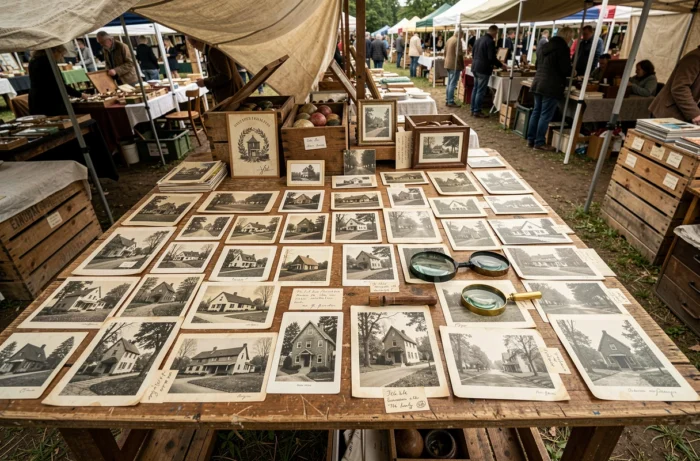
The interest of this approach goes beyond individual curiosity. Communities, heritage architects, and preservation associations use these photographic comparisons to document protection requests, argue restoration choices, or simply archive the memory of a neighborhood before an urban development operation. The old photo of an ordinary house then becomes a piece of evidence in a much larger file than family history.